Standing outside at night, the question is always the same and it is never quite answered by anything on your phone: what am I actually looking at? That bright thing near the horizon — planet or star? Is that moving dot a plane or the space station? Is it worth staying out another hour, or has the moon already washed everything out?
SkyRef is our answer. It draws the entire sky above your location as it is at this moment, on a single dome you can read at a glance.
The Whole Sky on One Dial
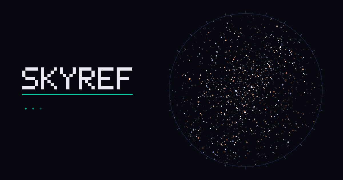
SkyRef uses a full-sky stereographic projection: the zenith — the point directly over your head — sits at the centre, the horizon runs around the rim, and north, east, south and west are marked on the edge. Turn to face south, look at the bottom of the circle, and that is what is in front of you.
The rim is engraved like a surveyor's transit, with azimuth ticks every five degrees and numbers every thirty. That is not decoration. Azimuth is a number you genuinely read off the chart when you are trying to point someone at something, and the app treats it as an instrument rather than an infographic.
The star positions come from the Yale Bright Star Catalogue — all 9,096 of them, down to magnitude 7.96, well past what the naked eye can reach even under a properly dark sky. Each star is drawn at its real colour, derived from its B−V index, so Betelgeuse reads orange and Rigel reads blue, the way they do through binoculars.
Constellations, Named and Drawn
All 88 IAU constellations are drawn as line figures with their names, and the brightest stars carry their proper names — Vega, Arcturus, Capella, Polaris, Antares. You can switch the lines, the constellation names and the star names on and off independently, because the version that helps you learn the sky is not the same as the version you want once you know it.
Satellites, and the Honest Version of "Visible"
SkyRef tracks 157 satellites — the space stations plus Celestrak's list of the ones bright enough to see — propagating their orbits with SGP4 directly in your browser, updated every second.
The part that matters is the distinction most trackers skip. A satellite overhead at noon is genuinely up there and genuinely invisible. So is one passing through the Earth's shadow at midnight. SkyRef only marks a satellite as visible when it is sunlit and you are in darkness — the narrow window when there is actually something to see. Those are drawn bright and labelled; everything else is a dim tick. Click any of them for range, altitude, whether it is currently in sunlight, and its NORAD number.
Meteor Showers, With a Straight Answer
The app knows the thirteen major annual showers and tells you which are running tonight — but more usefully, it tells you whether tonight is worth it. A shower's headline rate assumes its radiant is directly overhead under a perfectly dark sky, which is almost never your situation.
So SkyRef scales the estimate by the actual altitude of the radiant from where you are, says plainly when the radiant is still below your horizon, and calls out a bright moon when one is going to ruin the show. During Perseid season it will tell you something like "Near peak — perhaps 54/hour under dark skies" rather than repeating the theoretical figure of 100 that you will never see. The radiants are drawn on the dome as spoked markers, because a radiant is a direction, not an object — there is nothing there to look at.
Time Travel
SkyRef opens live and keeps ticking, but the time scrubber lets you move hours or days in either direction and play the sky at 60× or 3600×, which is the fastest way to understand how the sky actually turns. There are jump buttons for astronomical dark and moonrise, so you can check a night before you commit to standing out in it. Scroll to zoom, drag to pan, double-click to fit the whole dome again.
Red Mode, For People Who Actually Go Outside
There is a third theme beyond light and dark: a red night-vision mode. Your eyes take around twenty minutes to dark-adapt and roughly one glance at a white screen to undo it. In SkyRef, red mode turns the star field red too, not just the buttons — a canvas full of blue-white stars would defeat the entire point.
Everything Stays on Your Device
SkyRef computes the whole sky in your browser. Your coordinates are never sent to our servers, there is no account, no cookie banner, no analytics and no advertising. The only thing that reaches us is a city name if you type one into the search box, and even that is cached and never tied to you.
It also works offline once loaded, and installs as an app on a phone if you want it on your home screen for the walk out to the field.
Part of the VARØ Sky & Science Set
SkyRef joins Aurora Predictor for geomagnetic activity, RainTracker for rainfall, TideRef for tides, and RadioRef for radio reference. Same idea across all of them: one question, answered properly, free, with no account.
Frequently Asked Questions
Sources & References
- SkyRef — live star map
- Yale Bright Star Catalogue (BSC5P) — NASA HEASARC
- Constellation Boundary Data (VI/49) — Davenhall & Leggett 1989, after Delporte's official IAU boundaries
- What is a Constellation? — IAU astroEDU
- Celestrak orbital element sets (TLE) — used for SGP4 satellite propagation
- IMO Meteor Shower Calendar — International Meteor Organization
- Aurora Predictor — KP index aurora visibility tool
- The NASA Voyager Golden Record Clock — VARØ Industries Blog
- What's Actually on the Voyager Golden Record — VARØ Industries Blog